Brandywine Mountain is located in the Coast Mountains’ Pacific Ranges. There are different appproaches to Brandywine Mountain but main approach is via Brandywine Mountain Trail. If you do not want a treacherous terrain and want a shorter hike like experience, then go on a 4×4 vehicle directly to the Upper Parking lot of Brandywine Mountain Trailhead. Hikers often get confused by Brandywine Falls Park which is totally a different objective over this Summit.
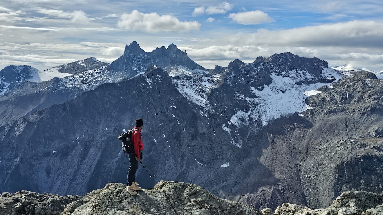
If you want a longer hike experience with additional 3km added to your route, park even before the lower parking lot. What you expect above the clearance of a jungle from lower parking lot, are heaven-like views of the meadows and vast first sight of the Brandywine Mountain South Face, Rivers, tons of small waterfalls, icecap glaciers, Mt. Fee, Mt. Caylay, Twin Towers, Callaghan Valley, Squamish Glacier, Powder Glacier and so on.
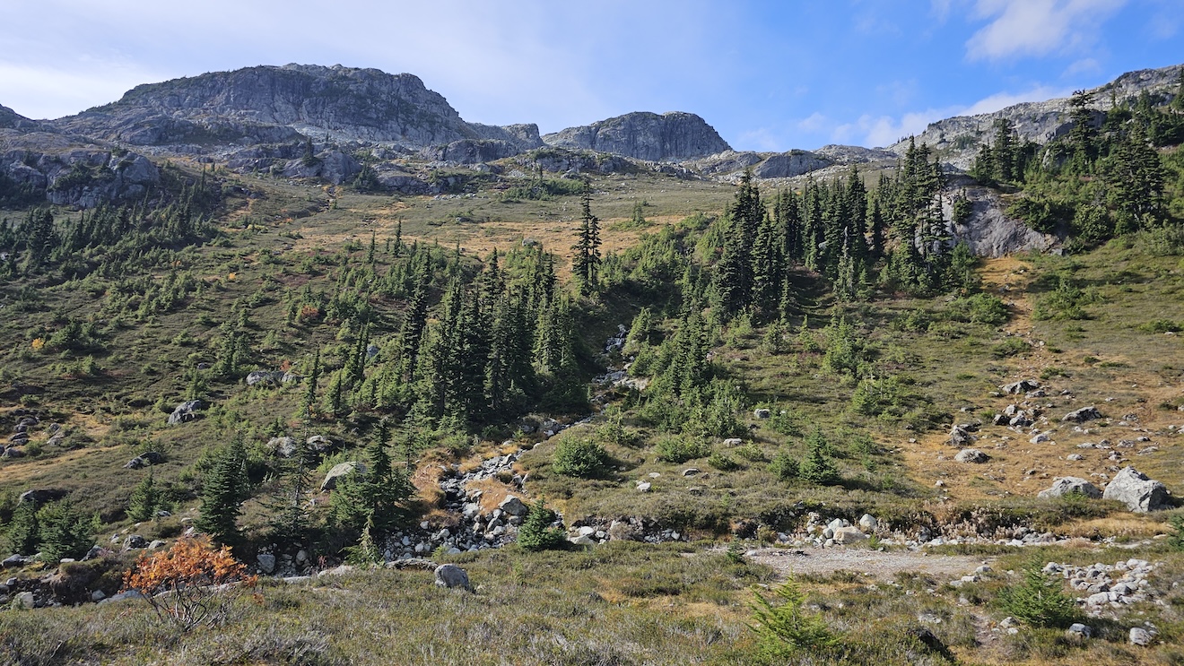
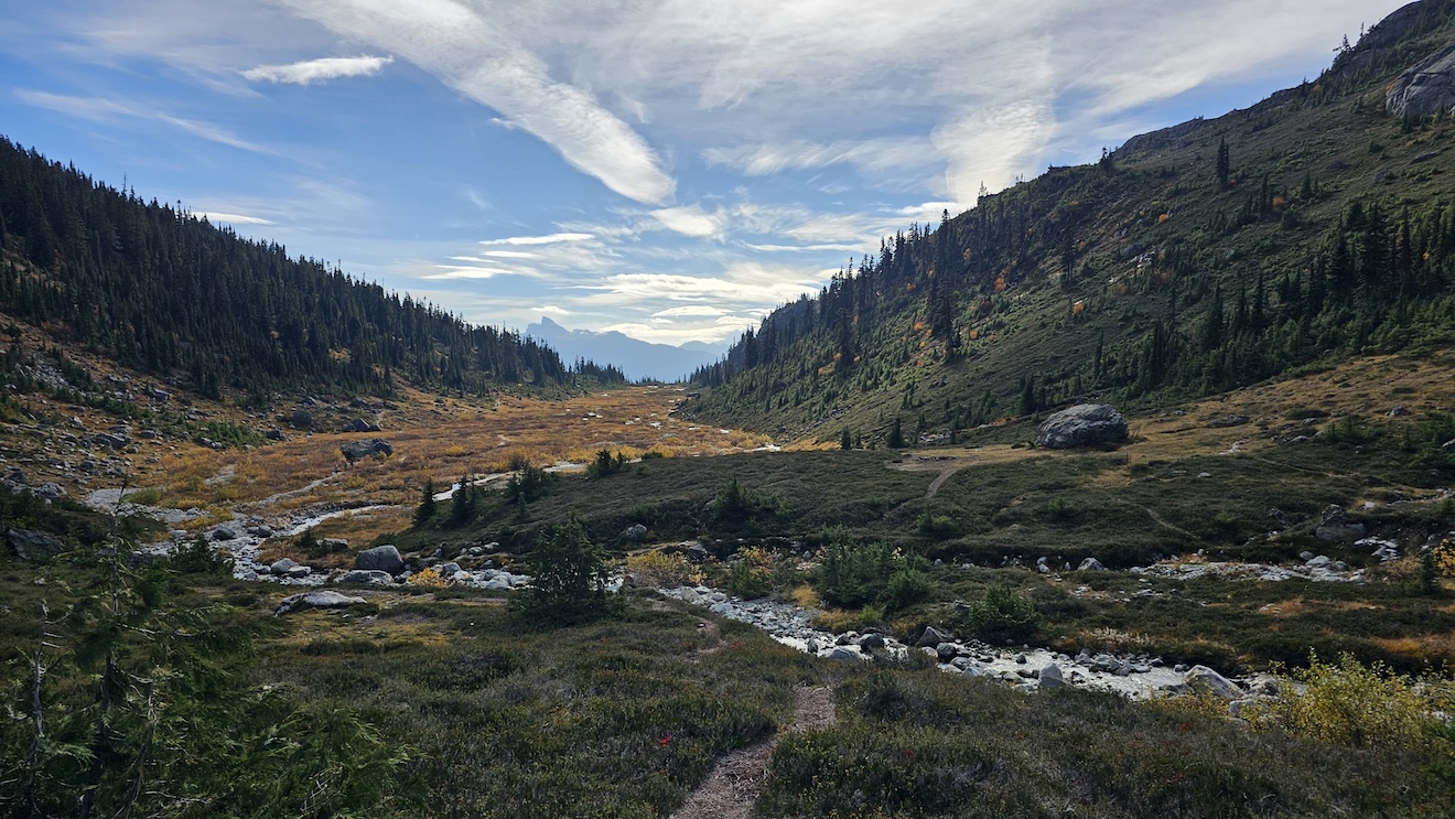
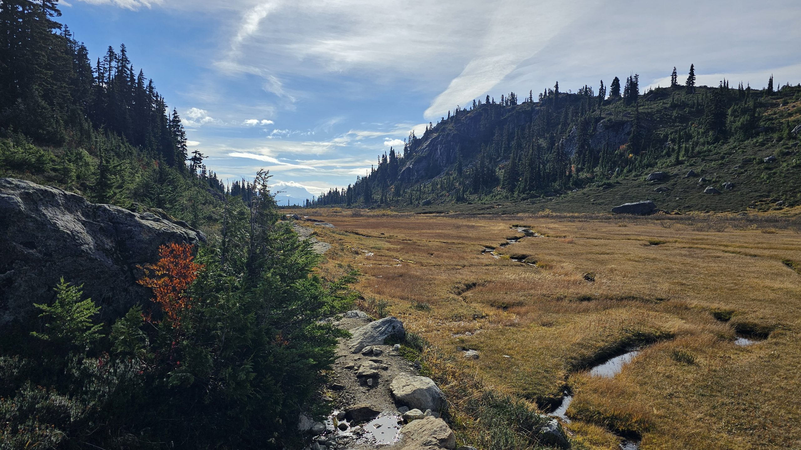
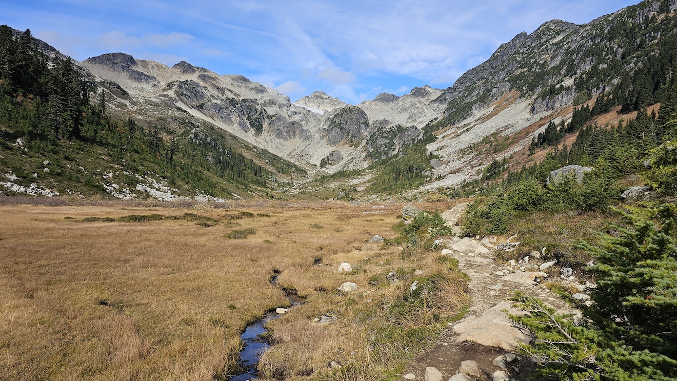
Brandywine Meadows are a reminder that if there is a heaven, it will not be better looking than this place. In fact, this is heaven, just get here through the hell of tree roots, Boulders and Shale. In general, all mountains are equally beautiful and dangerous. I have always maintained that every mountain big or small is no less than Mount Everest.
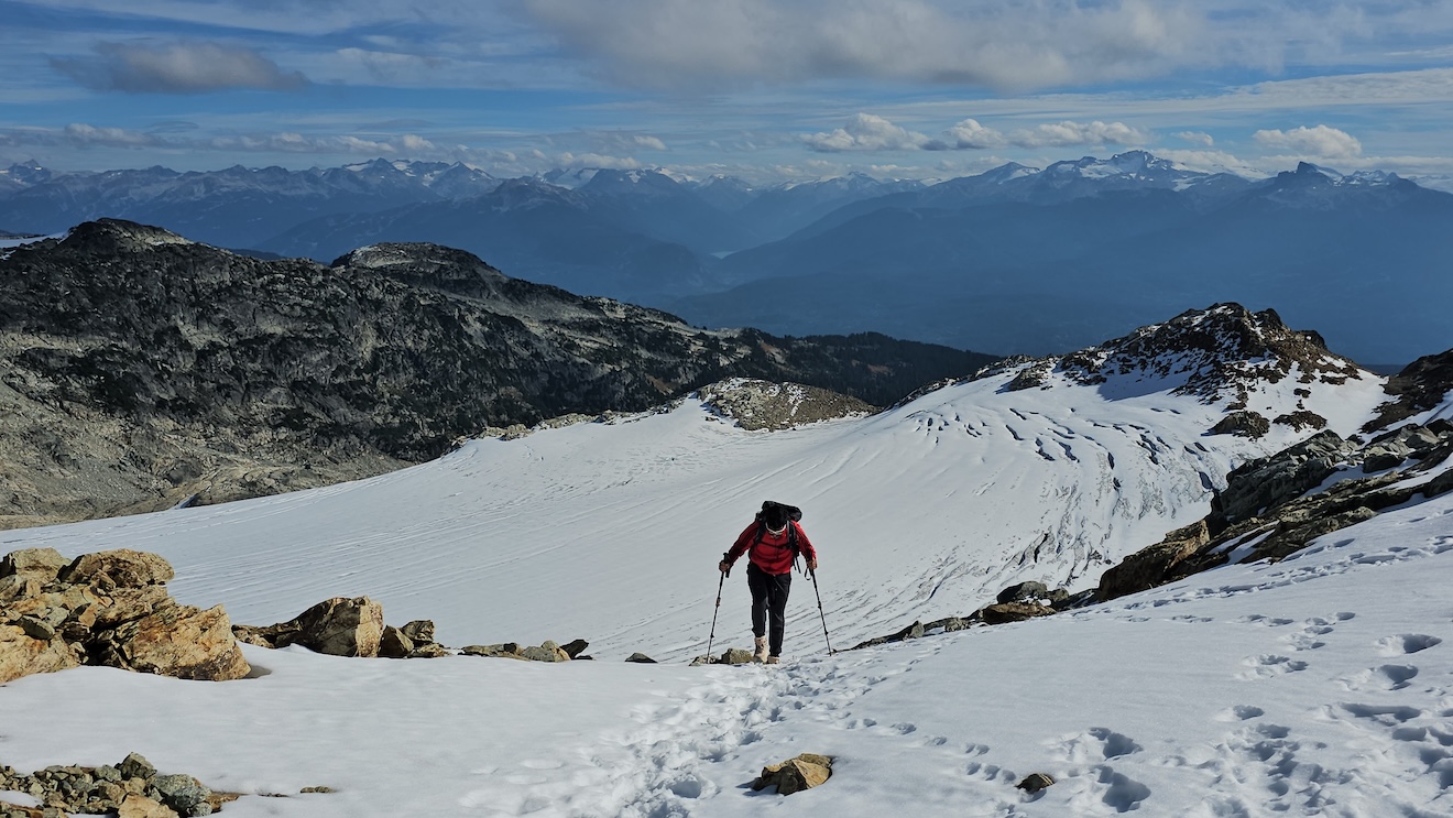
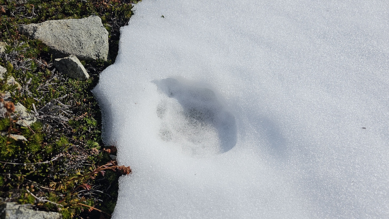
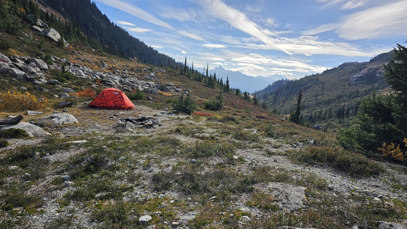
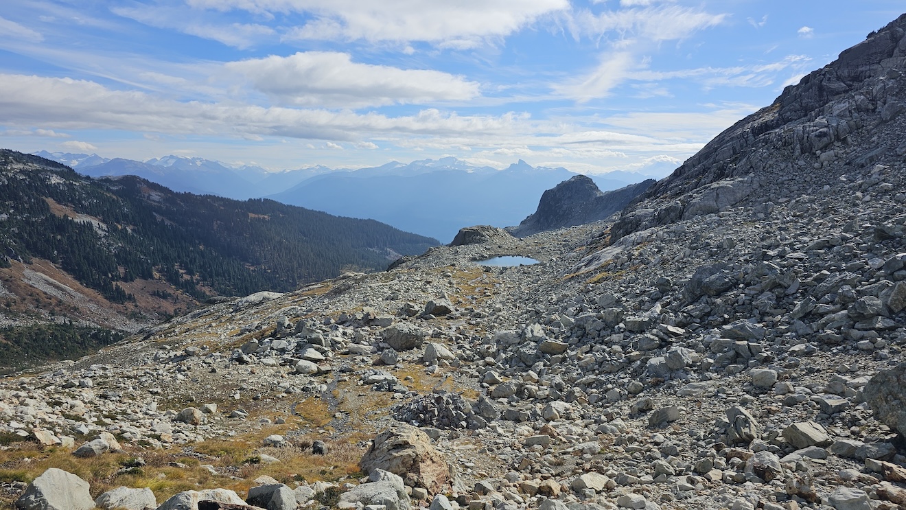
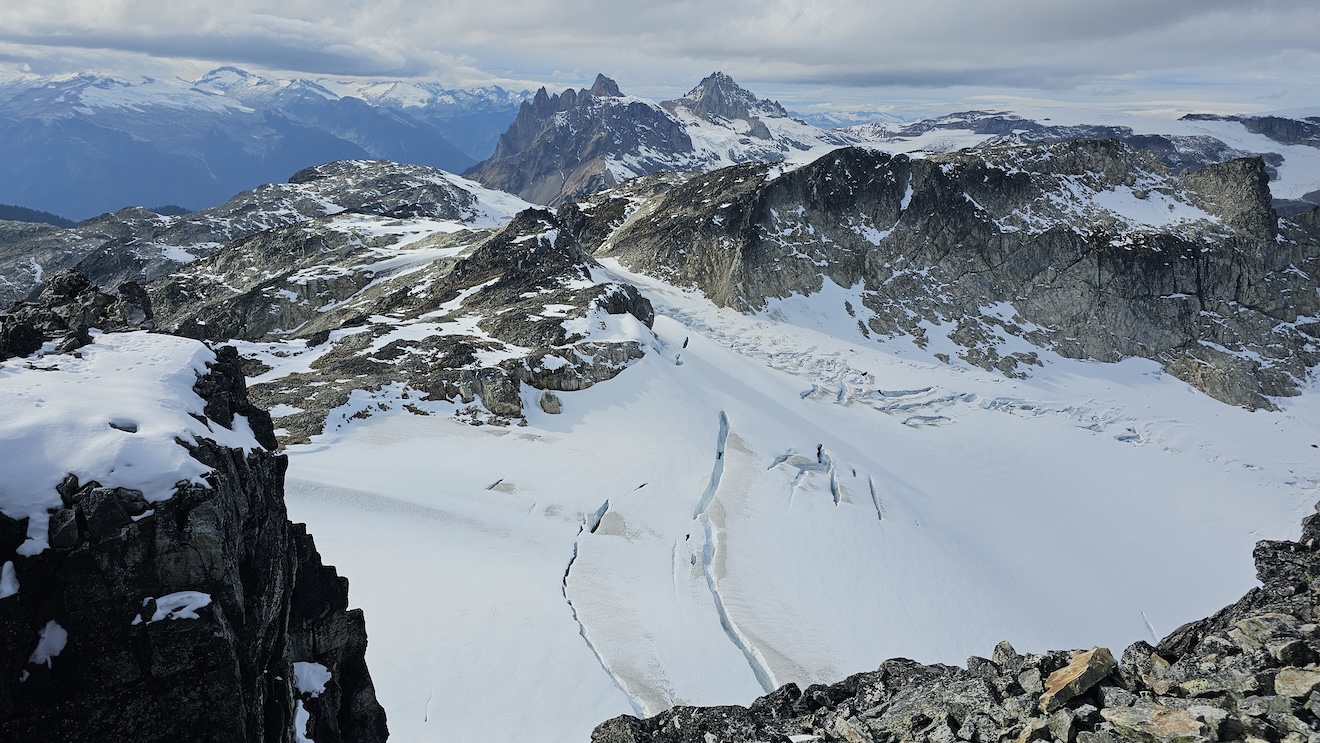
Getting to Brandywine trailhead is hard in a small vehicle with low clearance and for this reason, the activity on the mountain is relatively small. Bear in mind that this is a Bear Country, actually Grizzly Bear Country. I have uploaded GPX file recorded on my Garmin Watch that map would take a person from below the lower parking lot right to the Summit. However, the route finding can be different depending on the conditions on the mountain. Extra precaution is needed near the Glacier right under the Summit. The route I followed traverses from the edge of the Glacier to the Summit. However, the Glacier can be hard ice and may require crampons on this part. We just traversed, crossed over large boulders with huge cravasses or just big spaces between where they are piled (if you lose footing this could be quite dangerous), and postholed in random spots to the Summit.
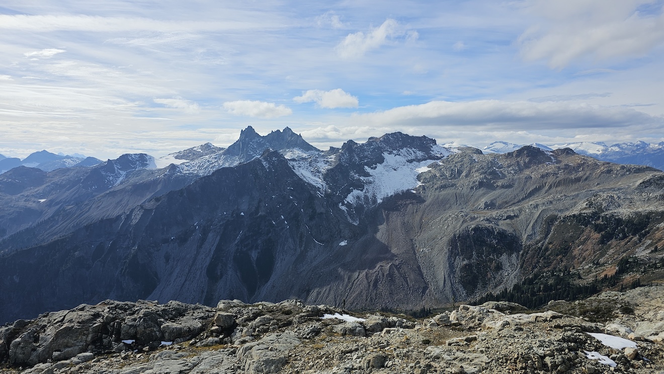
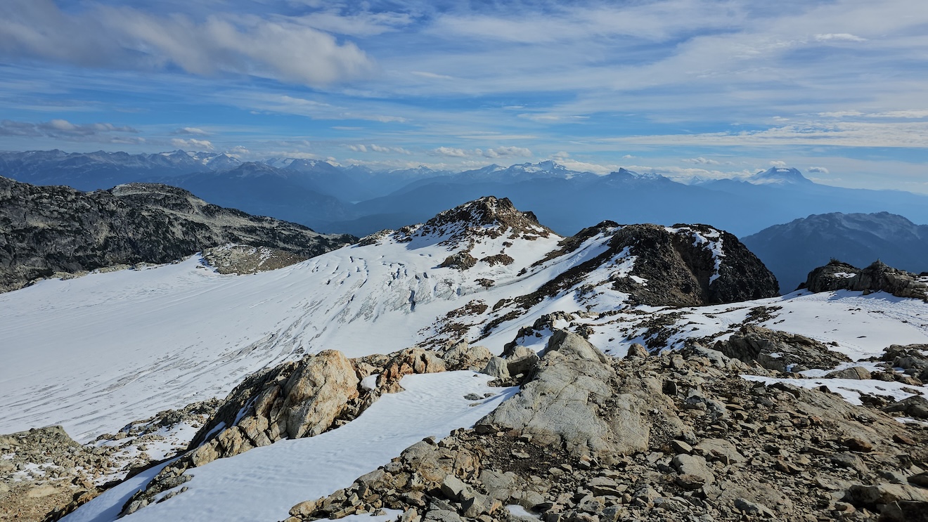
We parked about 1330+ meters from the lower parking lot and hiked up to the trail entrance. There wasn’t any other car parked there except a black Subaru. When coming to the trailhead, we stopped at a Starbucks (Our usual ritual before any mountain) and I saw a missing person sign in Squamish. I was hoping this to be the car of that missing person but the car was gone when we came back to the parking lot after the hike. This parking spot is about 400m from the fork with a board which provides the directions to the lower parking lot about 2kms from that point and upper parking lot about 5kms from that point.
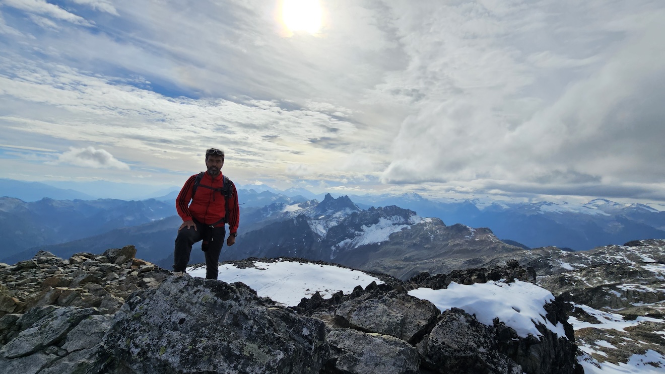
The hike starts climbing these tree roots right off the bat but not for long until some mud fields and slippery trees are cleared into the meadows. All this can be avoided by parking at the upper parking lot which will cut about 5km one way from your hike. The views from the meadows are unparalelled. We had lunch with us but considering the hike was actually easy from “upper parking lot” to the summit despite scramble to the saddle then grade 3 climb to the ridge and some grade 4 boulders climbing before the glaicer and the final push to the summit. Theose Boulders can be tricky in winter because the drop between the boulders can be dangerous. There is no way to know in snow where the drop would be on the boulder field and finding that out with your stick may or may not work. It will take a long time to route find in winter.
The weather was clear for mid October but I was not in the mood for a treacherous hike. It wasn’t actully the mood, it was the beaten up body from fast hikes a week earlier. However, I knew the big prize so we went for it. We decided to park at the spot to save our car, tires and have good exercise for the day knowing it will add almost 3km to the route.
