This is one of the easiest small hikes that can be done almost in any season unless there is Cypress Provincial Park closure due to an Avalanche Risk. We decided to do this hike at the end of Mountain Winter and we were postholing up to the Summit in snow without using Spikes, Snow Shoes or Crampons. We treated it more like a warm up for the season or just an exercise for the day.

The Hike
On Clear days, Howe Sound can be seen along the 30km Howe Sound Crest Trail, enroute to near Porteau Cove from Cypress Mountain along the Sea to Sky Highway.
From the Cypress Mountain downhill parking lot, head north towards the chairlift and follow signs for the Howe Sound Crest Trail. The trail runs alongside ski slopes, then veers right and uphill, merging onto a wider ski run. Turn left towards a green water tower, then right onto a forest trail.

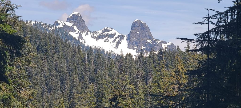
After a short hike, turn left at a gravel road, which soon narrows back into a trail. This leads to St. Mark’s Summit. About 10 minutes into the forest, you’ll reach a junction with a map and a clearing with views of the Lions. Continue uphill through switchbacks, crossing a meadow and two bridges.

The trail steepens with more switchbacks, then levels out briefly before another climb. As you reach the upper region of St. Mark’s Summit, continue over rocky terrain to a viewpoint with panoramic views of Howe Sound, the Tantalus Range, and the Gulf Islands. St. Mark’s Summit or Howe Crest Trail is not my favourite hike so far unless I choose to do the full hike sometimes in the future. Oh! While descending, my favourite part was sliding down the snow.
